
Schliersee
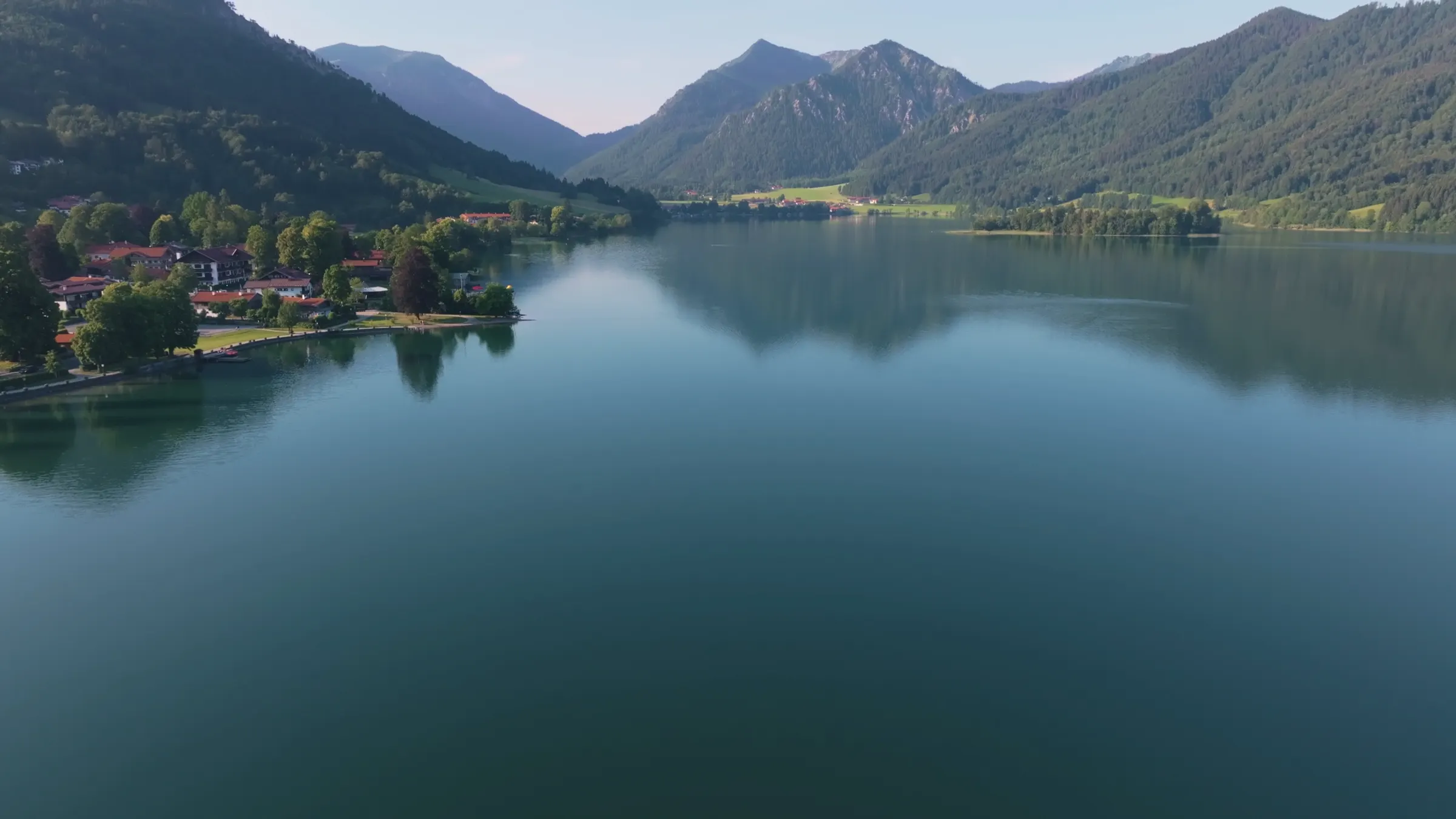
Schliersee is a lake and a village in Upper Bavaria, 50 minutes from Munich Hauptbahnhof by direct regional train. The lake lies at 777 metres in the Mangfall mountains, measures 7.4 kilometres around, has an inhabited island in the middle and no private motorboats on it. Our house has stood on the village square for more than 500 years, and this is how we explain the place to friends arriving from abroad.
Schliersee in four numbers
50minutes from Munich Hauptbahnhof by direct train
777metres above sea level
7.4kilometres around the lake
0private motorboats allowed
22 ways into the region
One text per subject, as long as it needs to be, with numbers, routes and addresses.
Hiking at Schliersee
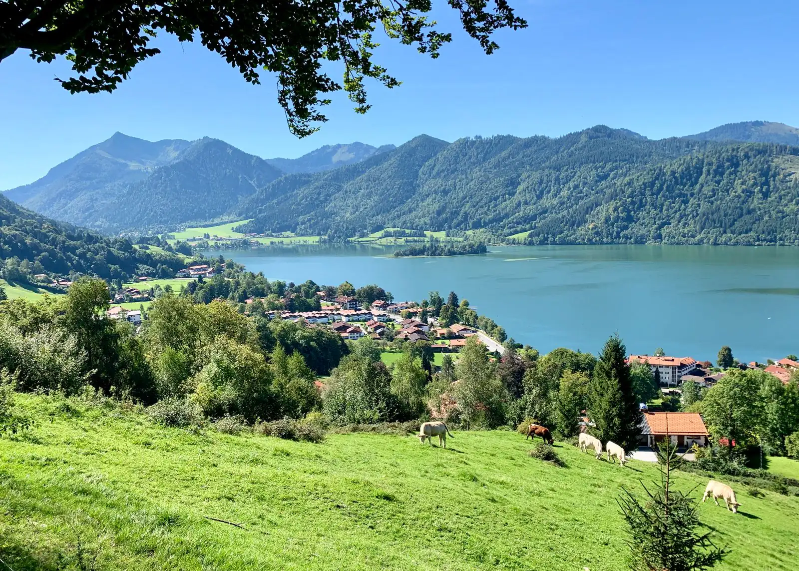
From a flat lakeside path at 777 metres to the Rotwand at 1,884. Four routes from our front door, and what each one asks of you.
Hiking from Schliersee to Tegernsee
One day, two lakes, two alpine huts and a 17th-century beer hall at the end. Our own favourite hike, 14 km over the Prinzenweg.
Once around the Schliersee
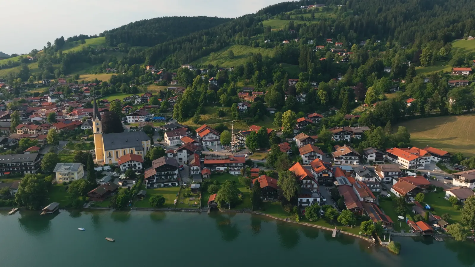
7.4 km around the lake, with almost no climbing. The walk every guest does once.
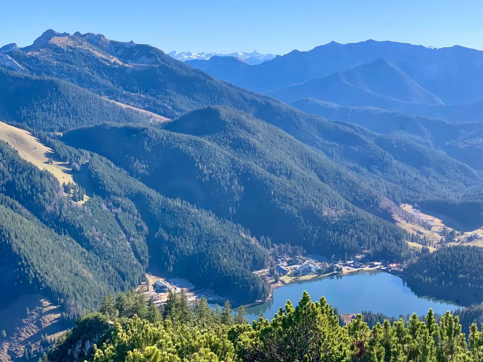
Walking around the Spitzingsee
A flat loop of 3 to 3.5 km at 1,084 metres, cleared in winter. Fifteen minutes by bus from Schliersee.
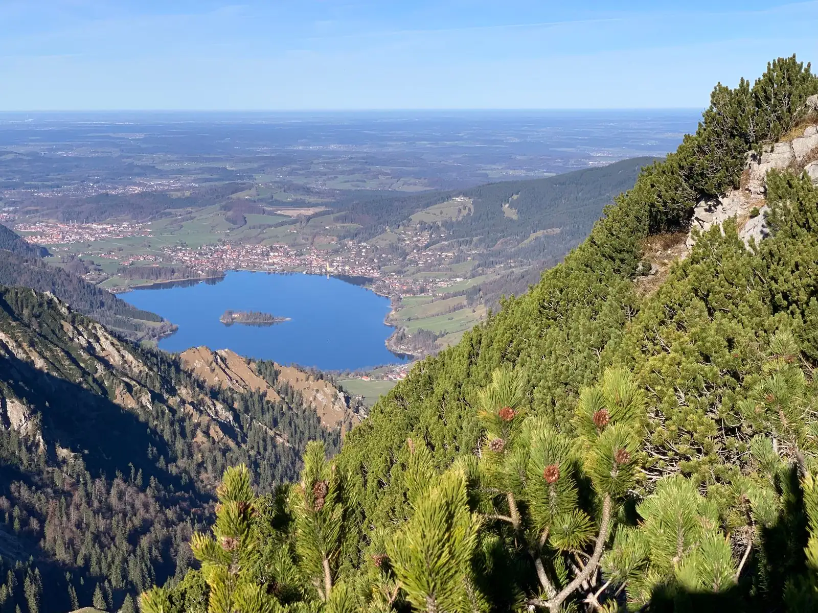
Which mountain is that?
Every peak around the lake with its name and height, from the Brecherspitz to the Rotwand.
- Alpine huts around Schliersee: where to stop for a Brotzeit
Five summer huts above Schliersee, 1223 to 1375 metres up, with walking times, seasons and closing days.
- Swimming in the Schliersee
Up to 23 °C in high summer, open shores, no private motorboats, and a lake aerated since 1982.
- Boat trips on the Schliersee
Round trips from May to September, plus rowing, pedal and electric boats. A motor vessel has run here since 1897.
- The island of Wörth
2.4 hectares in the middle of the lake, densely wooded, settled since prehistoric times, with an inn on it.
- Things to do at Schliersee
From the lake path at the door to the Wendelstein, sorted by distance, with the owners’ own tips for rainy days.
- Schliersee off the beaten path
Ten tips from Ute and Markus Leitner, who run the Terofal: from the chapel hill behind the house to a sandbank by the island, with timings and seasons.
- A day trip from Munich to Schliersee by train
Fifty minutes by direct train from Munich Central Station to a lake you can walk around before lunch. A plan for the whole day, summer and winter.
- The Bavarian lakes compared: which one should you visit?
Eight lakes side by side: size, depth, swimming, the train from Munich and how busy they get. And why we think Schliersee wins.
- Tegernsee or Schliersee?
One lake is four times the size and far better known. What that means for a day, a weekend or a week, in numbers.
- When it rains
Seven things the Terofal’s hosts tell their guests on wet days, from a sauna ship to a whisky distillery.
- Winter by the lake
Between October and March it empties out. If that is what you are after, these are the better months.
- Skiing near Munich, from Schliersee
Spitzingsee and Sudelfeld, two ski areas 15 to 20 minutes from Schliersee, and Schliersee itself an hour from Munich.
- Tobogganing at Spitzingsee and Schliersee
Walk up 2.5 km to a mountain hut, hire a sledge, ride down under lights. The easiest proper toboggan run near Munich, explained for first-timers.
- Ice skating at Schliersee
The natural ice rink when it freezes, the indoor rink in Miesbach when it thaws, and the truth about the frozen lake.
- Christmas markets near Munich, in the mountains
Schliersee, the Wasmeier open-air museum and Lake Tegernsee: the 2026 dates, how the train from Munich works, and what Glühwein and the Christkindl are.
- How to get to Schliersee
Fifty minutes from München Hauptbahnhof, no change of train. Plus the truth about parking.
- At the lake with your dog
Which room works, which apartment, what it costs and where you can have breakfast with your dog.
Where is Schliersee?
Upper Bavaria, 50 kilometres south-east of Munich, at the point where the foothills turn into real mountains.
Schliersee is the name of both a lake and the village on its north-eastern shore. Both lie in the district of Miesbach in Upper Bavaria, about 50 kilometres south-east of Munich, between the Tegernsee valley to the west and the Inn valley to the east. The Austrian border, with Tyrol behind it, runs along the southern edge of the municipality.
The mountains here are the Mangfall mountains, part of the Bavarian Prealps. That sounds modest, and on a map it is: the summits around the lake reach roughly 1,600 to 1,900 metres. But they start at the water’s edge. You do not drive for an hour to reach the mountains. You walk out of the village and you are on the path.
The municipality has about 6,700 inhabitants and covers 79 square kilometres, from the lakeshore at 777 metres up to the hamlet of Spitzingsee at 1,090 metres and the peaks above it. Its villages are Schliersee itself, Westenhofen to the north, and Fischhausen and Neuhaus at the southern end of the lake.
Lake Schliersee: the facts
Small enough to see in one glance, deep enough to stay cold well into June.
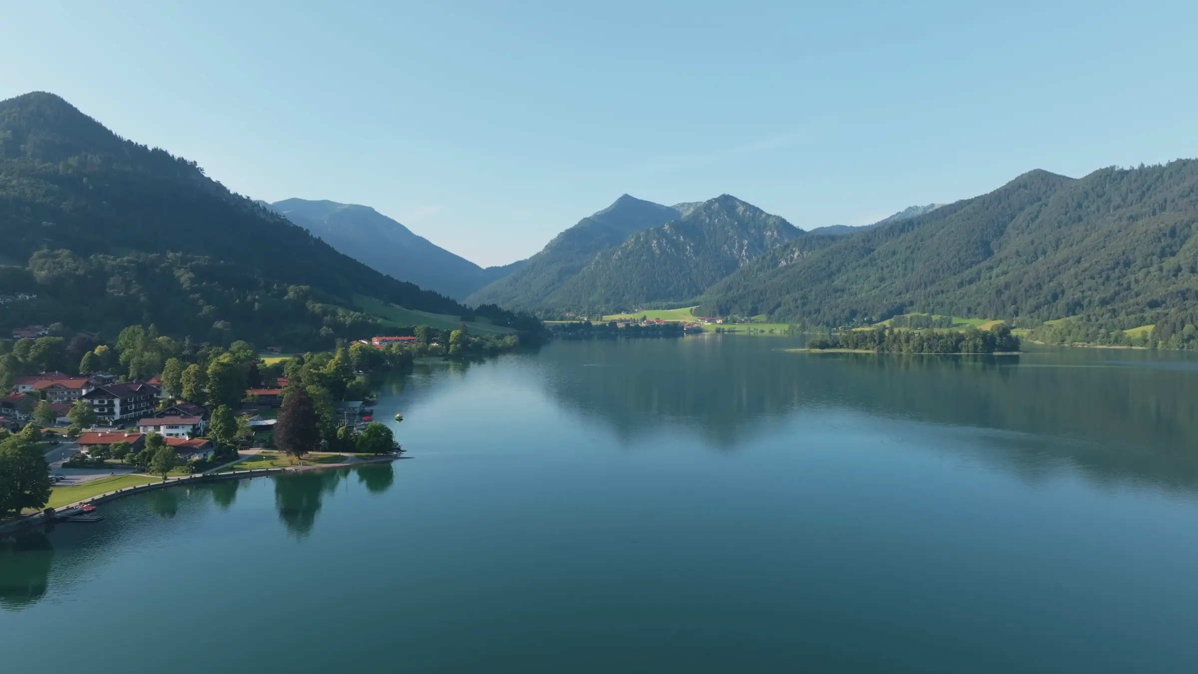
Lake Schliersee covers 2.22 square kilometres. It is 2.5 kilometres long, 1.25 kilometres wide and up to 40.5 metres deep. A glacier of the last Ice Age carved the basin from north to south. From any point on the shore you can see the opposite shore, and that is the first thing visitors notice: this is a lake you can take in whole, and walk around in a morning.
The path around it is 7.4 kilometres long and almost flat. At a steady pace it takes about an hour and a half. With a coffee stop and a swim, plan half a day. It stays close to the water nearly all the way, passing through the village, the hamlet of Fischhausen at the southern end and the meadows of the western shore.
The lake is fed mostly by small springs. It has a single outflow, the Schlierach, which leaves the lake at the northern end and joins the river Mangfall 13 kilometres downstream. In summer the water reaches up to 23 °C, according to the municipality. In May it is still bracing.
Lake data
- Altitude
- 777 m
- Area
- 2.22 km²
- Length × width
- 2.5 × 1.25 km
- Shore path
- 7.4 km, about 1.5 hours walking
- Depth
- up to 40.5 m, average 23.9 m
- Water temperature
- up to 23 °C in summer
- Island
- Wörth, 2.4 hectares, with an inn
- Outflow
- the Schlierach, to the Mangfall
- District
- Miesbach, Upper Bavaria
Why the lake is so quiet
No motorboats, one passenger boat since 1897, and a lake that was rescued.
Private motorboats are not allowed on Lake Schliersee. What you see on the water are rowing boats, small sailing boats, electric boats and pedalos from the hire, stand-up paddleboards and one passenger boat. What you hear from the shore is oars, wind and church bells. For a lake under an hour from a city of 1.5 million, that is unusual, and it is the main reason a day here feels different.
The passenger boat, the Schliersee III, belongs to a private company rather than to the state fleet that runs the boats on the other Upper Bavarian lakes. There has been a motor boat service on this lake since 1897. From May to September a 45-minute round trip leaves the jetty by the Vitalwelt leisure pool, five minutes from the station, usually at five past the hour from late morning to late afternoon. Check the operator’s timetable before you plan around it.
The lake belongs to the Free State of Bavaria, and 17.54 square kilometres of the valley around it are a protected landscape. That is eight times the area of the lake itself, and it explains why the shores are meadows and woods rather than a ring of buildings.
It was not always this calm. In the 1970s the water was so rich in phosphate that a red alga, the Burgundy blood alga, turned the lake visibly red. The sheltered position and the long spring ice cover meant the water never mixed properly. In 1982 an air line was laid along the bottom of both basins. It pushes air into the depths, the rising bubbles drag cold deep water to the surface, and the whole lake turns over in three to four days. Since then there have been no significant algal blooms and no fish kills. When you swim here, you swim in a lake that was nearly lost forty years ago.
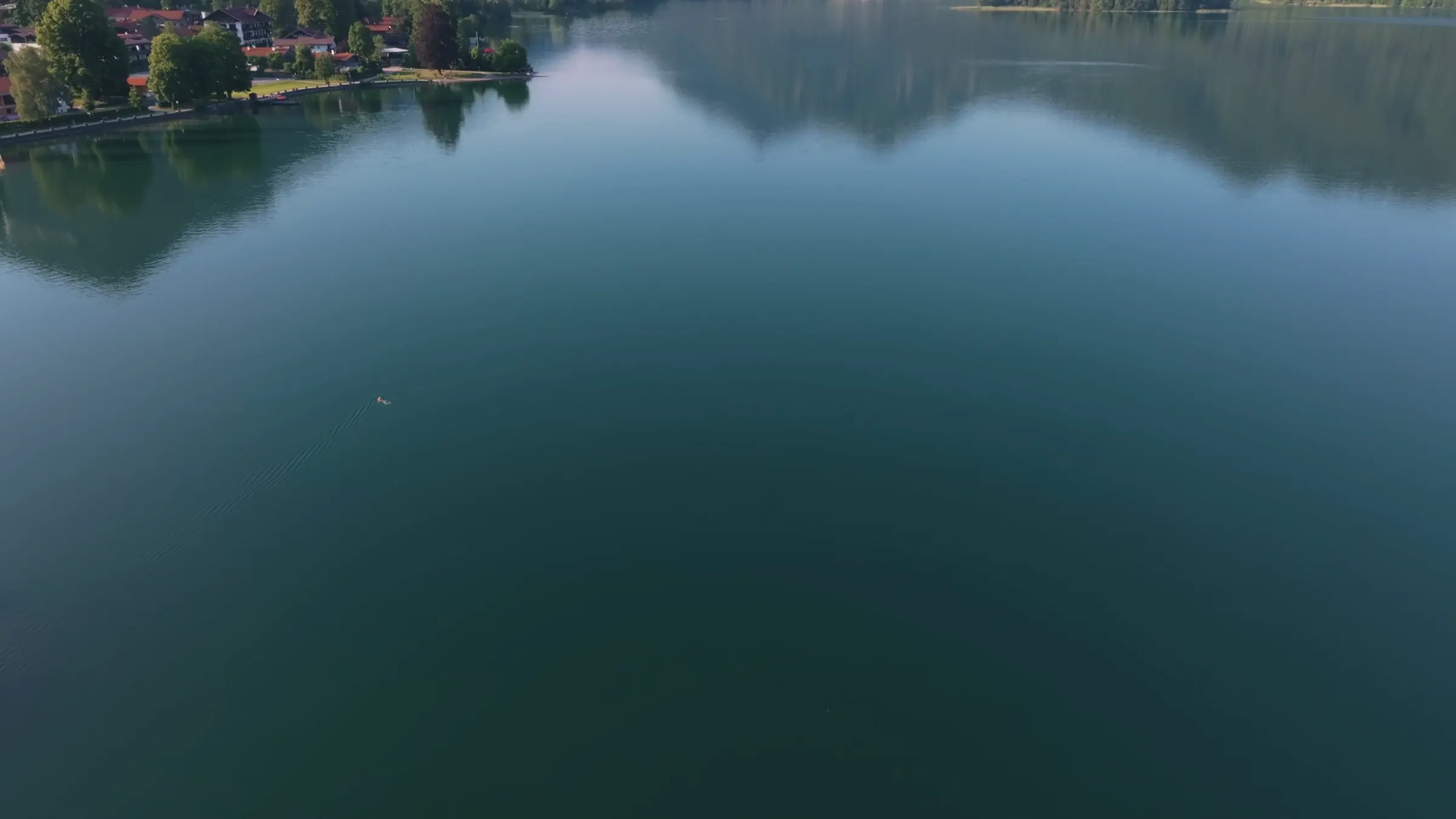
The island and the village
An island with an inn, a church on the water, and a theatre that played New York in 1895.
In the middle of the lake lies the island of Wörth: about 2.4 hectares, densely wooded, with an inn on it. It is not a random lump of land but the top of an underwater ridge that runs across the lake from east to west and divides it into a northern and a southern basin. The island has been settled since prehistoric times. Its nearest point is just under 200 metres from the western shore, so there is no bridge and no path. You row, or take an electric boat from the hire at the jetty.
Our own favourite spot is out there, the sandbank in front of the island. Ask at the boat hire where you may swim: their rules keep electric boats away from the island and do not allow swimming from the boats. For an ordinary swim from the shore, the lido in the village is the obvious choice.
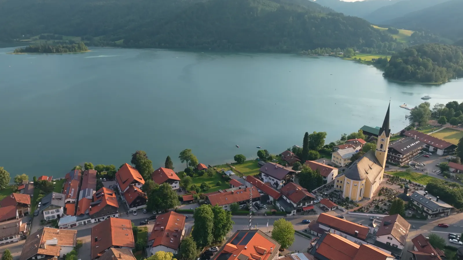
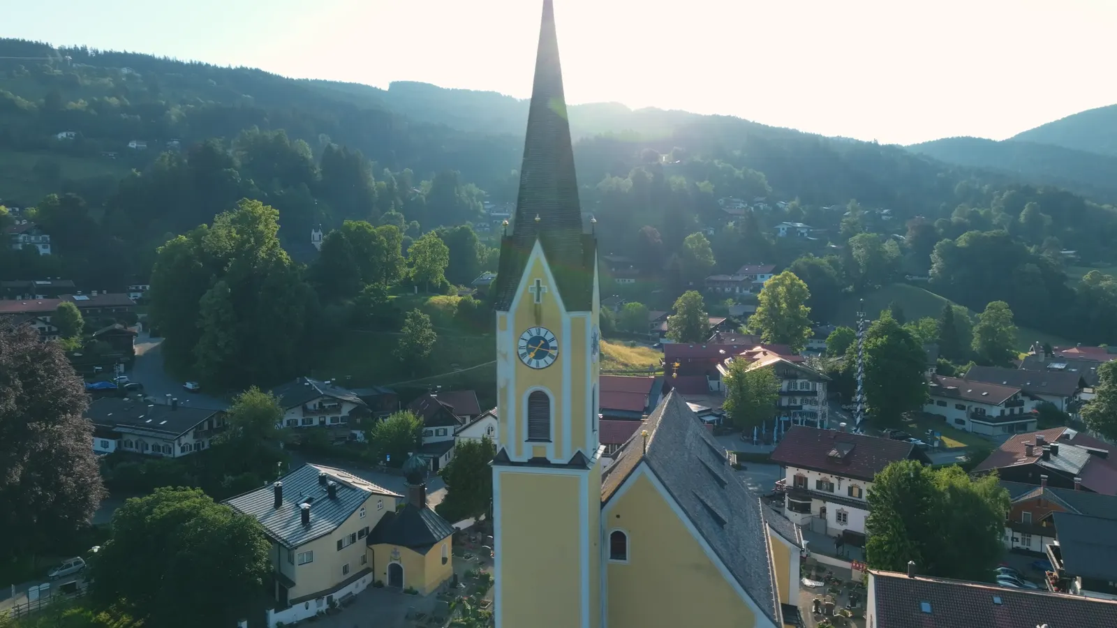
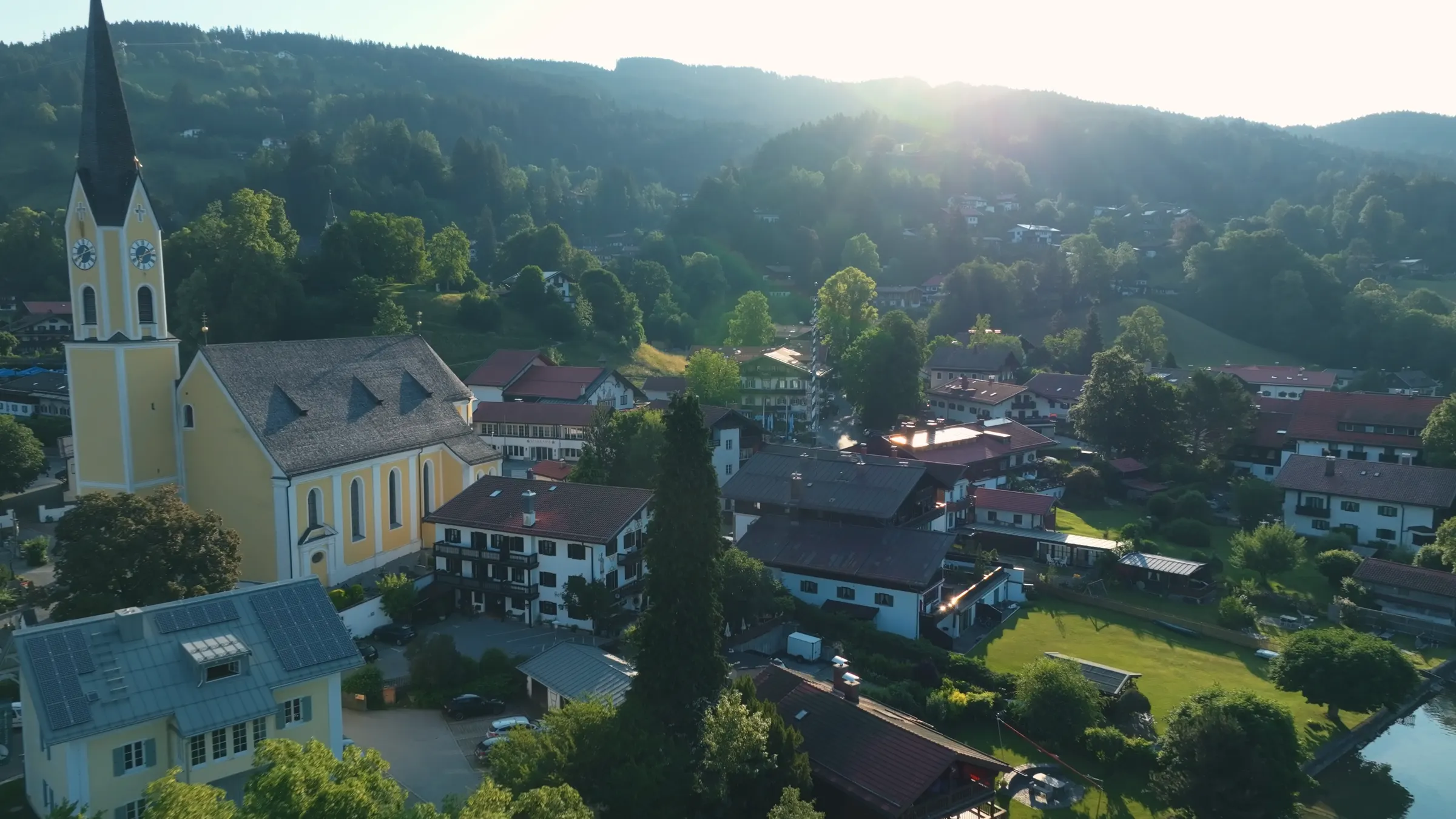
The village of Schliersee sits on the north-eastern shore, around the parish church of St Sixtus, whose tower you see from almost everywhere on the water. It became a resort in the nineteenth century for one reason: the railway. Once Munich was an hour away, the farming village became one of the first places in Bavaria where both summer mountain holidays and winter sports took hold.
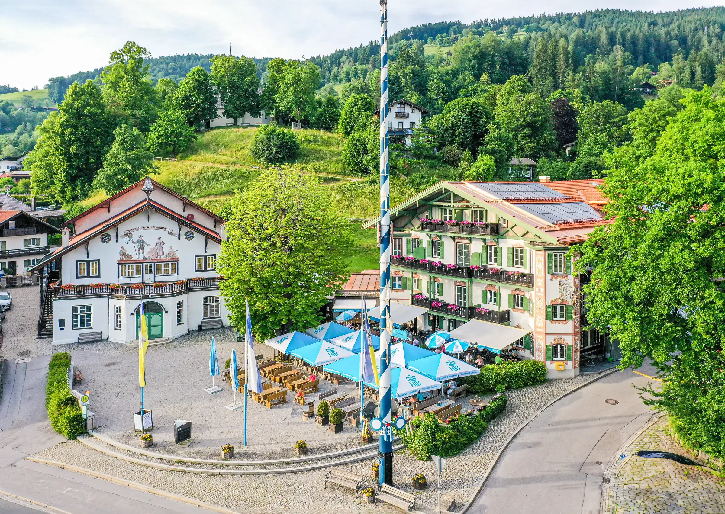
In 1891 Xaver Terofal, who had trained as a butcher at his father’s wish and then danced the Schuhplattler on a Munich stage, bought the inn on the village square. A year later he co-founded the Schlierseer Bauerntheater with the court actor Konrad Dreher. A theatre building with more than 450 seats went up next to the inn, designed by the Munich architect Emanuel von Seidl. The idea was new: the actors were local craftsmen and farmers, not trained professionals. It worked. The company toured Germany and Vienna, and in 1895 it played the Metropolitan Opera in New York. The theatre is still in use, the square in front of it carries Terofal’s name, and our house is the inn he bought.
If you want to see how people here lived before tourism, the Markus Wasmeier Open-Air Museum on the edge of the village has rebuilt farmhouses and workshops from several centuries. They are the real buildings, taken down elsewhere and put back up here.
The mountains around Schliersee
Four summits in view from the shore, a cable car to the classic viewpoint, and a mountain lake 300 metres higher.
Stand on the shore in the village and turn once: you see Aiplspitz, Jägerkamp, Brecherspitz and Bodenschneid, all part of the Mangfall mountains. The local mountain is the Brecherspitz, 1,684 metres, with a pyramid shape you cannot miss from the water. North of the lake the hills are rounded and wooded; south of it they turn to limestone and rise above the tree line. A geological boundary runs straight through the lake, and you can see it in the skyline.
Directly above the village, the Schliersbergalm is reached by cable car. An Alm is a high mountain pasture, and in Bavaria the word usually also means the hut on it that serves food in summer. From up there you see the whole lake with the island in the middle, the view on most Schliersee postcards and the only one you do not have to walk for. A summer toboggan run takes you back down.
About five kilometres south, and 300 metres higher, lies Spitzingsee: a mountain lake at 1,084 metres, 28 hectares, with a small resort of the same name on its shore. In winter it is the local ski area; in summer it is the starting point for the higher walks, including the Rotwand. Buses run up from Fischhausen-Neuhaus, the station at the southern end of Lake Schliersee.
Ute and Markus Leitner, who run our house, recommend four walks that start from the front door or close to it. The easy one follows the lake to Fischhausen, climbs to the ruined castle of Hohenwaldeck and returns over the Oberleiten, with a long view over the lake: 2 to 3 hours. The medium one goes over the Gindelalm and the Neureuth to Tegernsee and the Bräustüberl, the brewery tavern, and back by bus or taxi: 3 to 4 hours of walking. The two demanding ones start higher up: from the Spitzing saddle to the Brecherspitz and back via the Obere Firstalm, 4 to 5 hours and only for sure-footed walkers with a head for heights; and from Spitzingsee to the Rotwand via the Rotwandhaus, also 4 to 5 hours.
Their favourite Alm for a Brotzeit, the Bavarian cold plate of bread, cheese and cured meats, is the Freudenreichalm. Huts open and close with the season and the weather; check with the hut or the German Alpine Club before you set off.
Mountains in view
- Brecherspitz
- 1,684 m, the local mountain
- Also in view
- Aiplspitz, Jägerkamp, Bodenschneid
- Schliersbergalm
- cable car from the village
- Spitzingsee
- mountain lake at 1,084 m, 5 km south
- Range
- Mangfall mountains, Bavarian Prealps
Why we think it is the finest lake in Bavaria
Not the biggest or the most famous. The one that asks the least of you.
Bavaria has bigger lakes, and more famous ones. Our case for Schliersee is practical, and you can check every part of it.
You can arrive without a car. The regional train from Munich Hauptbahnhof runs to Schliersee without a change, and from the station you walk to the water. No transfer bus, no hire car, no parking.
It is the right size. At 7.4 kilometres around, you can walk the whole shore before lunch. At Tegernsee, the better-known lake 11 kilometres to the west, the shore path is about 21 kilometres. Bigger is not better when you have two days.
It is quiet on the water. No private motorboats, one passenger boat, and a protected landscape eight times the size of the lake.
The mountains begin at the shore. A mountain lake, a ski area, four summits in view and staffed huts such as the Gindelalm, Freudenreichalm and Obere Firstalm are reachable on foot or by local bus.
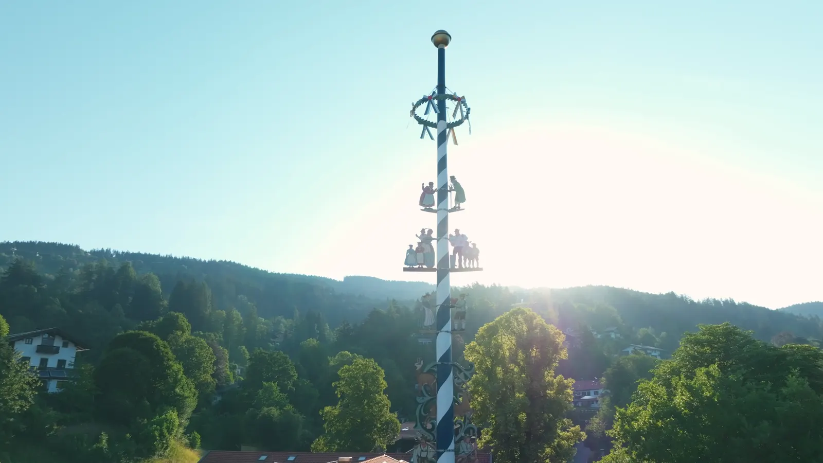
And it is still a village. About 6,700 people live in the municipality, with a parish church on the water, a theatre from 1892, a maypole on the square and a calendar of festivals that are held for the people who live here, not staged for visitors.
The best time to visit Schliersee
Four seasons, four different places. The emptiest is not the worst.
Summer, late June to early September, is the season for swimming. The water reaches up to 23 °C, the boat runs daily, and the beer gardens are full on warm evenings. Weekends with good weather bring day visitors from Munich; weekdays are noticeably calmer.
Autumn is our favourite and the least visited. Mist lies on the lake in the morning and lifts by late morning, the paths are dry, the light is low and clear, and you get a table anywhere. September and October are the best months for walking.
Winter moves everything uphill. Skiing and tobogganing are at Spitzingsee, cross-country skiing is best around Bayrischzell, and the Sudelfeld ski area is about 20 minutes away by car. Down at the lake it is quiet. In hard frosts the lake can freeze; only go onto the ice where it has been officially opened.
Spring has its own calendar: carnival in February, the strong beer season in March, maypoles in May. Snow can linger on the higher paths into May, so the lake walks come first.
The year at a glance
- Swimming
- late June to early September
- Boat round trips
- May to September
- Mountain walks
- May to October, higher paths from June
- Skiing
- Spitzingsee and Sudelfeld, 15 to 20 minutes
- Quietest months
- October, November, March
How to get to Schliersee from Munich
One regional train, no change. Sit in the right half of it.
By train: the Bayerische Regiobahn (BRB) runs from Munich Hauptbahnhof towards Bayrischzell, with Schliersee as a stop. The journey takes about 50 to 55 minutes without a change, with trains every hour, and in busy periods every half hour, from about 6 am until around midnight. One detail catches visitors out: the trains from Munich are split at Holzkirchen, and the other sections go to Lenggries and Tegernsee. Board the section marked Bayrischzell, and you will arrive at Schliersee. These are regional trains, so the Deutschlandticket and the Bayern-Ticket are valid.
From Munich Airport, take the S-Bahn into Munich Hauptbahnhof and change there. By car, take the A8 motorway towards Salzburg to the Weyarn exit, then about 20 minutes on country roads; coming from Salzburg, leave at Irschenberg.
Once here, you do not need a car. Overnight guests receive the guest card (Gästekarte) from their hotel or apartment. Together with photo ID, it is a free ticket on local buses and on the BRB trains south of Miesbach, which covers the bus up to Spitzingsee and the trains to Bayrischzell and Tegernsee. In winter it also covers the ski bus. Check the current zones on the regional tourism site before you rely on it.
From the station it is seven minutes on foot to Xaver-Terofal-Platz, the village square, and four more to the lakeshore.
Getting here
- Train from Munich Hbf
- about 50 to 55 min, no change
- Frequency
- hourly, often half-hourly, 6 am to midnight
- Which train
- the section for Bayrischzell
- By car
- A8, exit Weyarn, then about 20 min
- Station to village square
- 7 minutes on foot
- Village square to lake
- 4 minutes on foot
- Local buses
- free with the guest card
Where to stay at Schliersee
Our house, briefly and honestly: a hotel in the village centre, and apartments on the shore.
We should say plainly that this is our own house. The Terofal is a four-star boutique hotel with 20 rooms in a listed building on a site that has hosted guests for more than 500 years, on Xaver-Terofal-Platz in the centre of the village. It is not on the lake. The shore is four minutes’ walk away, and the rooms on the upper floors look over the roofs to the water. Six of the rooms have their own Finnish sauna, a balcony or loggia and a direct view of the lake and the mountains. We have no shared spa; the sauna is in the room.
If you want to wake up on the water, our Seeheimat apartments are the other option: four holiday apartments on their own lakeside plot on Seestraße, under 200 metres from the hotel, with a private swimming spot for guests, a sauna house by the lake and stand-up paddleboards and two small kayaks you can use free of charge. They have kitchens, need a minimum stay, and with stairs and open water at the garden’s edge they are not suitable for toddlers.
Downstairs in the hotel is the Xaver restaurant, with 200 seats in the beer garden under an old chestnut tree in front of the house and beer on tap from Hopf in Miesbach and from Tegernsee. Restaurant and beer garden are closed on Mondays.
What is happening on the lake right now, season by season, is in our Journal.
Addresses and sources
Every link goes to the operators themselves. Times and prices change, so please check them there.
Schliersee Tourist Office
The municipality’s own site: events, opening times, the guest card and current notices.
Alpenregion Tegernsee Schliersee: guest card
Which buses and trains the guest card covers, with the network map as a PDF.
Bayerische Regiobahn (BRB)
The regional trains from Munich Hauptbahnhof to Schliersee and Bayrischzell.
Deutsche Bahn journey planner
Live connections from Munich, including the S-Bahn from the airport.
Schliersee Schifffahrt
The lake boat Schliersee III, round trips, prices and the boat hire.
Schliersbergalm
The cable car above the village, with a summer toboggan run and a restaurant.
Alpenbahnen Spitzingsee
Lifts at Spitzingsee, winter and summer, with current operating times.
Markus Wasmeier Open-Air Museum
Farmhouses of the Bavarian uplands, moved here and rebuilt, on the edge of the village.
Schlierseer Bauerntheater
Programme and tickets for the village theatre, founded in 1892. Plays are in Bavarian dialect.
German Alpine Club (DAV)
Path conditions, hut openings and safety advice for the mountains around the lake.
Common questions.
What is Schliersee like?
Schliersee is a small, quiet Alpine lake with a village on its shore, 50 minutes from Munich by direct train. The lake is 7.4 kilometres around, has an island with an inn and no private motorboats, and the Mangfall mountains rise straight from its southern end. It feels like a working Bavarian village rather than a resort.
How do I get from Munich to Schliersee without a car?
Take the BRB regional train from Munich Hauptbahnhof towards Bayrischzell; it reaches Schliersee in about 50 to 55 minutes without a change. The train splits at Holzkirchen, so sit in the section marked Bayrischzell. The Deutschlandticket and Bayern-Ticket are valid.
Is Schliersee worth a day trip from Munich?
Yes, if you want a lake and mountains without driving. In one day you can walk the 7.4 km shore path in about an hour and a half, take the 45-minute boat round trip in summer, ride the cable car to the Schliersbergalm for the view, and be back in Munich for dinner.
Can you swim in Lake Schliersee?
Yes. The water reaches up to 23 °C in summer, and the village has a lido. Since the lake was fitted with an aeration system in 1982 there have been no significant algal blooms. A local favourite is the sandbank in front of the island of Wörth by hired boat; ask the hire where swimming is allowed.
Schliersee or Tegernsee: which should I visit?
Tegernsee is four times the size, busier and better known, with more shops and hotels around its 21 km shore. Schliersee is smaller, quieter and reachable by direct train. The two are 11 km apart, so you can easily see both; one of the classic walks leads from Schliersee over the mountain to Tegernsee.
What is there to do at Schliersee in winter?
Skiing and tobogganing at Spitzingsee, 15 minutes up the road by bus, and at the Sudelfeld ski area about 20 minutes away by car. Cross-country skiing is best around Bayrischzell. Down at the lake there are winter walks, and with a guest card the ski bus is free.
How long does it take to walk around Lake Schliersee?
About an hour and a half at a steady pace. The path is 7.4 kilometres long, almost flat and stays close to the water most of the way. With stops for coffee, photos and a swim, allow half a day.
Where is the best place to stay at Schliersee?
Stay in the village if you want restaurants, the station and the boat within a few minutes’ walk; stay on the shore if you want to swim from the garden. Our hotel, the Terofal, is on the village square four minutes from the lake, and our Seeheimat apartments are directly on the water.
Read on
- Hiking around Schliersee
Walks from the village and from Spitzingsee, with times, difficulty and where to eat on the way.
- Tegernsee or Schliersee?
The two neighbouring lakes compared in numbers, for anyone deciding where to spend a few days.
- A sauna in your room
Six rooms with their own Finnish sauna and a view of the lake. No shared spa, no opening hours.
Start from here
Our house stands in the middle of the village, seven minutes on foot from the station and four from the water. Reception is happy to help with questions about the region, daily from 7:30 am to 8 pm on +49 8026 92921-0.