
The island
of Wörth
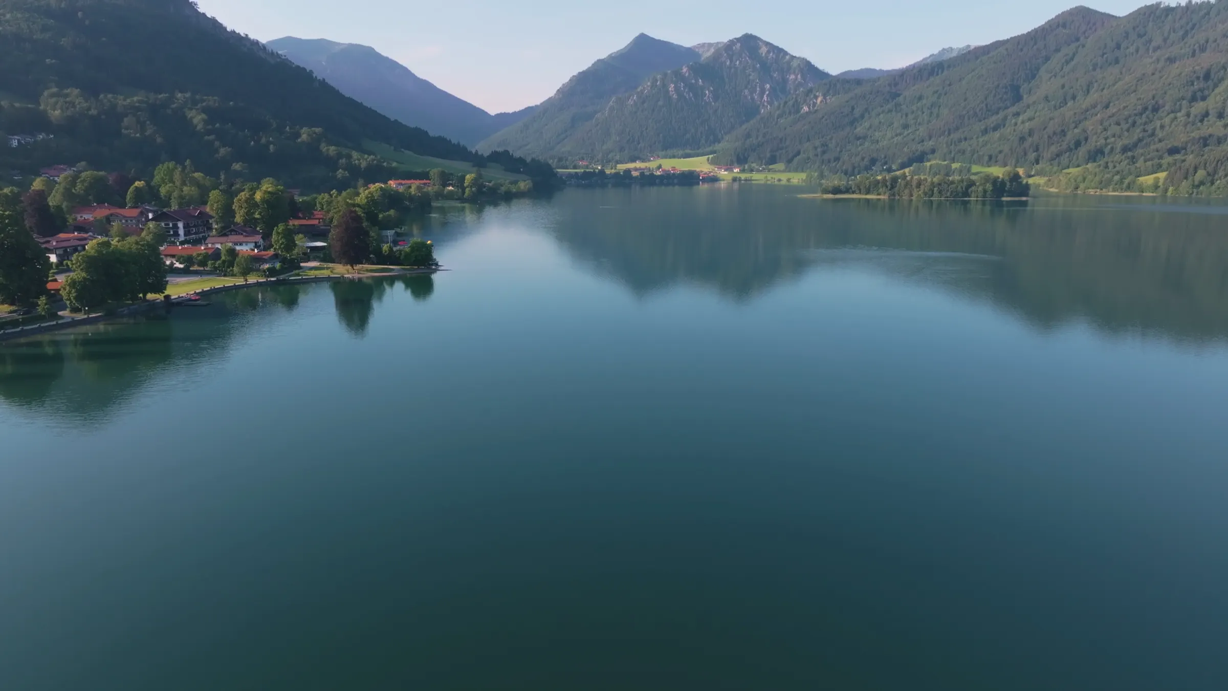
The island in the middle of the Schliersee is called Wörth. It covers about 2.4 hectares, carries an inn, and can only be reached by boat: it lies just under two hundred metres off the west shore. It was settled before the village on the shore existed, and geologically it is the tip of a ridge that divides the lake in two.
The island in numbers
2.4hectares
200metres to the west shore
1832boats calling since
1island in the whole lake
What the island is
Wörth comes from the Old High German werid and simply means island.
Wörth, usually called Insel Wörth, is the only island in the Schliersee. The name comes from Old High German werid and Middle High German wert and means nothing more than island. So “Insel Wörth” says the same thing twice, and everyone here says it anyway.
It is densely wooded and has an inn on it. You cannot walk there; to get across, take the passenger boat or hire a rowing boat on the shore. From the shore path you see it all the time: from the south it sits in front of the village, from the north in front of the mountains. It is why the Schliersee is recognisable at once in photographs.
Why there is an island at all
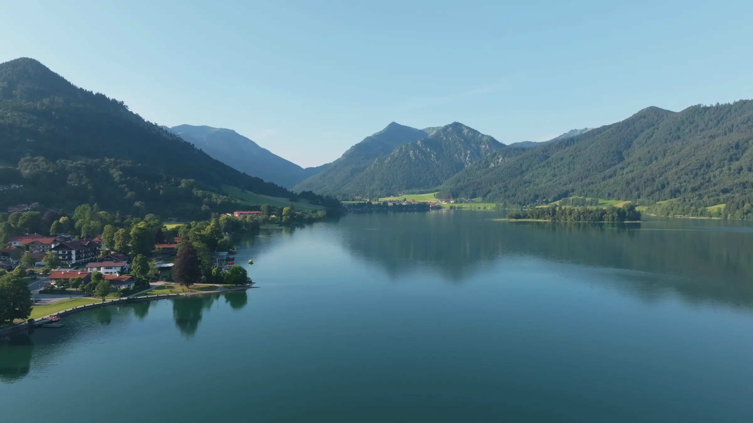
The tip of an underwater ridge across the lake.
The island is the part of a massive east to west ridge that rises above the water. The ridge divides the lake into two basins. Geologically it is Flysch, a soft sandstone and marl, of the Kalkgraben Formation, named after a former quarry in Kalkgraben, a part of Schliersee.
About two hundred metres north of the island, similar ridges reach to just below the surface, and you notice the shallows in places if you are out in a rowing boat.
Sheep, a well and a steamer
Settled since prehistoric times, a pasture in the Middle Ages, an excursion from 1832.
People have lived on the island since prehistoric times, and its south shore is a protected archaeological site. In the Middle Ages it was unwooded and used to graze sheep; the Bavarian land survey of the 1810s still shows it unbuilt and barely wooded, though it already had a well.
Steamers changed that. In the 1830s the island got a landing stage and from 1832 boats called regularly. Later an excursion inn was built, which is still there. The forest that covers it today is younger than the day trippers.
There is also a legend, the Hungerturm, or hunger tower: a knight of Waldeck is said to have returned from a crusade and banished his unfaithful wife and her lover to the island to starve. Whether it ever happened cannot be said, and it probably did not.
At a glance
- Size
- 2.4 hectares
- Cover
- densely wooded, with an inn
- Distance to west shore
- just under 200 metres
- Geology
- Flysch ridge, Kalkgraben Formation
- Protection
- south shore is an archaeological site
- Access
- by passenger boat or hired boat only
- First landing stage
- 1830s, boats from 1832
Addresses and sources
Every link goes to the operators themselves. Times and prices change, so please check them there.
Schliersee Schifffahrt
Round trips past the island from May to September, plus the boat hire on the shore.
Bavarian Palace and Lakes Administration
The lake belongs to the Free State of Bavaria. This is who manages it and what rules apply.
Schliersee tourist office
The municipality’s official site, with events, the guest card and current notices.
Bavarian Environment Agency (LfU)
Official geological data for the region, including the Flysch rocks the island is made of.
Common questions.
How big is the island in the Schliersee?
The island of Wörth covers 2.4 hectares. It is densely wooded, has an inn on it and lies just under two hundred metres off the west shore at its nearest point.
How do you get to the island of Wörth?
Only across the water. The Schliersee Schifffahrt runs from May to September, and rowing, pedal and electric boats can be hired on the shore. There is no bridge or causeway.
Why is there an island in the middle of the Schliersee?
It is the part of a massive east to west ridge that rises above the water and divides the lake into two basins. Geologically it is a Flysch ridge of the Kalkgraben Formation.
Is there anything on the island of Wörth?
Yes, an inn. The island has been settled since prehistoric times, and its south shore is a protected archaeological site. In the Middle Ages it was a sheep pasture.
What does the name Wörth mean?
It comes from Old High German werid and Middle High German wert and means island. “Insel Wörth” therefore says the same thing twice.
Since when have boats gone to the island?
Since the steamers of the 1830s: the island got a landing stage and from 1832 boats called regularly. The excursion inn came later. Motor boats have run on the Schliersee since 1897.
Read on
Start from here
Our house stands in the middle of the village, seven minutes on foot from the station and four from the water. Reception is happy to help with questions about the region, daily from 7:30 am to 8 pm on +49 8026 92921-0.