
Once around
the lake
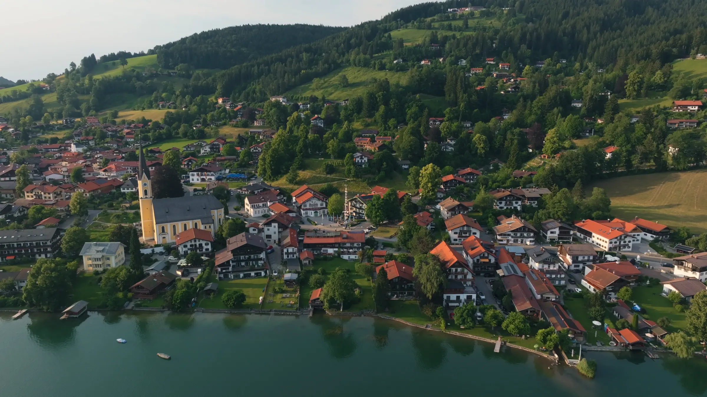
Walking around the Schliersee takes a morning and involves almost no climbing: 7.4 km (4.6 miles), by the water the whole way, and you finish exactly where you started. This page tells you which direction to take, what the path is like underfoot, where you can cut it short and where you can stop for food on the way.
The lake walk in numbers
7.4km all the way round
2.5km long lake
1.25km wide lake
777metres, the same all the way
How long is the walk around the Schliersee?
7.4 km, practically flat, with the opposite shore always in view.
The path around the Schliersee is 7.4 km (4.6 miles) long and has practically no gradient. It stays by the water almost all the way, which makes it the easiest way to get to know the lake. At a brisk pace you are back in a little over an hour and a half. If you stop, take photographs and have lunch, allow half a day.
The lake is a manageable size: 2.22 square kilometres, two and a half kilometres long and a little over one kilometre wide. That means you can almost always see the opposite shore from the path. You never lose your bearings, you always know how far there is still to go, and you can turn back at any point without missing anything.
That is the difference from the larger lakes further west. Walking right round the Tegernsee is a full day’s project. Here it is what you do on your first morning, before you decide what else to do with the week.
Which direction to walk
Both work. One has the better light in the morning, the other in the evening.
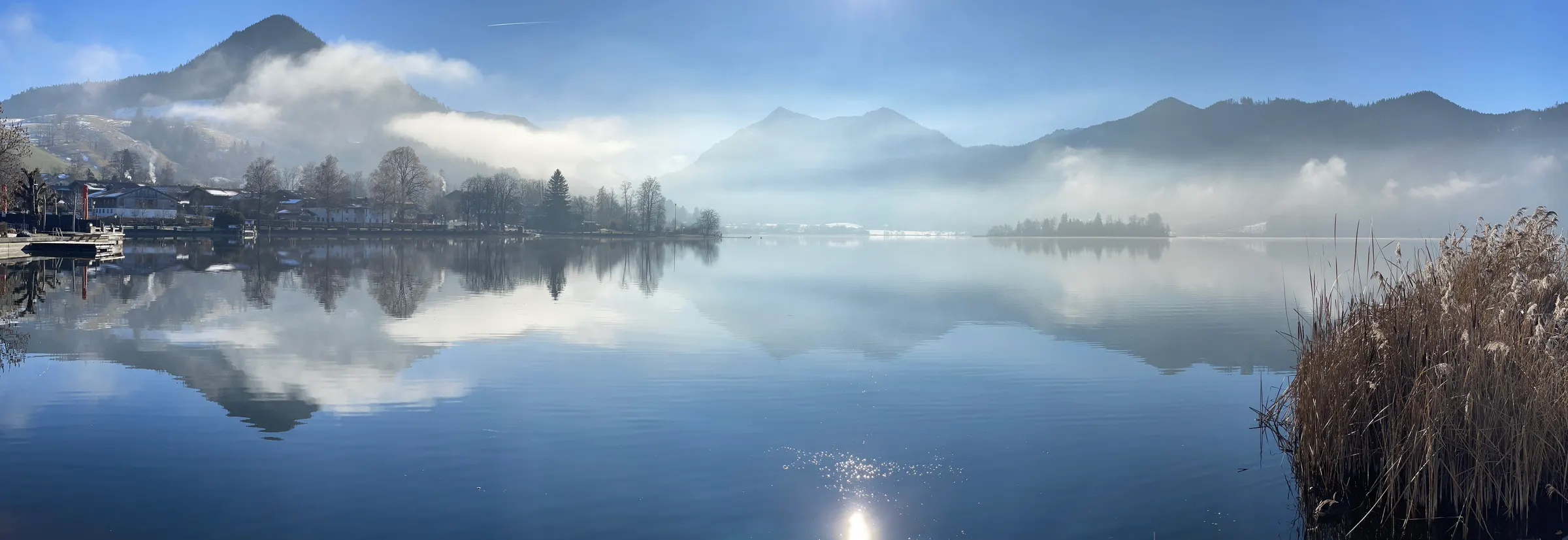
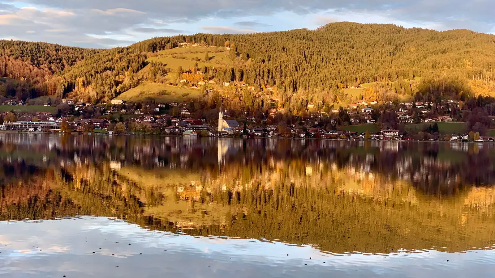
Choosing a direction is not a matter of taste but of light. The village sits on the north-east shore. Set off clockwise in the morning, south along the east shore first, and you have the sun behind you all morning, with the mountains lit in front of you as you come back along the west shore.
If you start in the afternoon, reverse it. Walk south along the west shore first, and on the way back along the east shore you have the late light on the mountains. If you are taking photographs, that is the better choice.
Fischhausen, on the south shore, is about two and a half kilometres from the village centre, roughly halfway round. It is the natural place for a break, whichever way you are going.
On the north-west shore the Breitenbach stream flows in, the only inflow of any size. On the north shore, just north of the Freudenberg peninsula, the Schlierach flows out: the lake’s only outlet, which runs thirteen kilometres to the Mangfall river. Both are inconspicuous spots you would walk past without noticing. Once you know, you see the lake differently.
Cutting the walk short
From May to September a boat runs. You do not have to walk back.
The lake path has an advantage few lakes offer: you can stop whenever you like. From May to September the Schliersee Schifffahrt runs daily. The round trip takes forty-five minutes, with departures between 11 am and 5 pm. If you have had enough halfway, take the boat back.
With children this is the most relaxed way to do it: there on foot, back across the water. It is also the answer to a change in the weather, which comes in faster here than it looks from below.
The whole path is firm enough for a pushchair. A few stretches are compacted gravel rather than tarmac, which you notice through the wheels, but it holds no one up.
Where to eat on the way round
The village itself, Fischhausen halfway round, and the island in the middle.
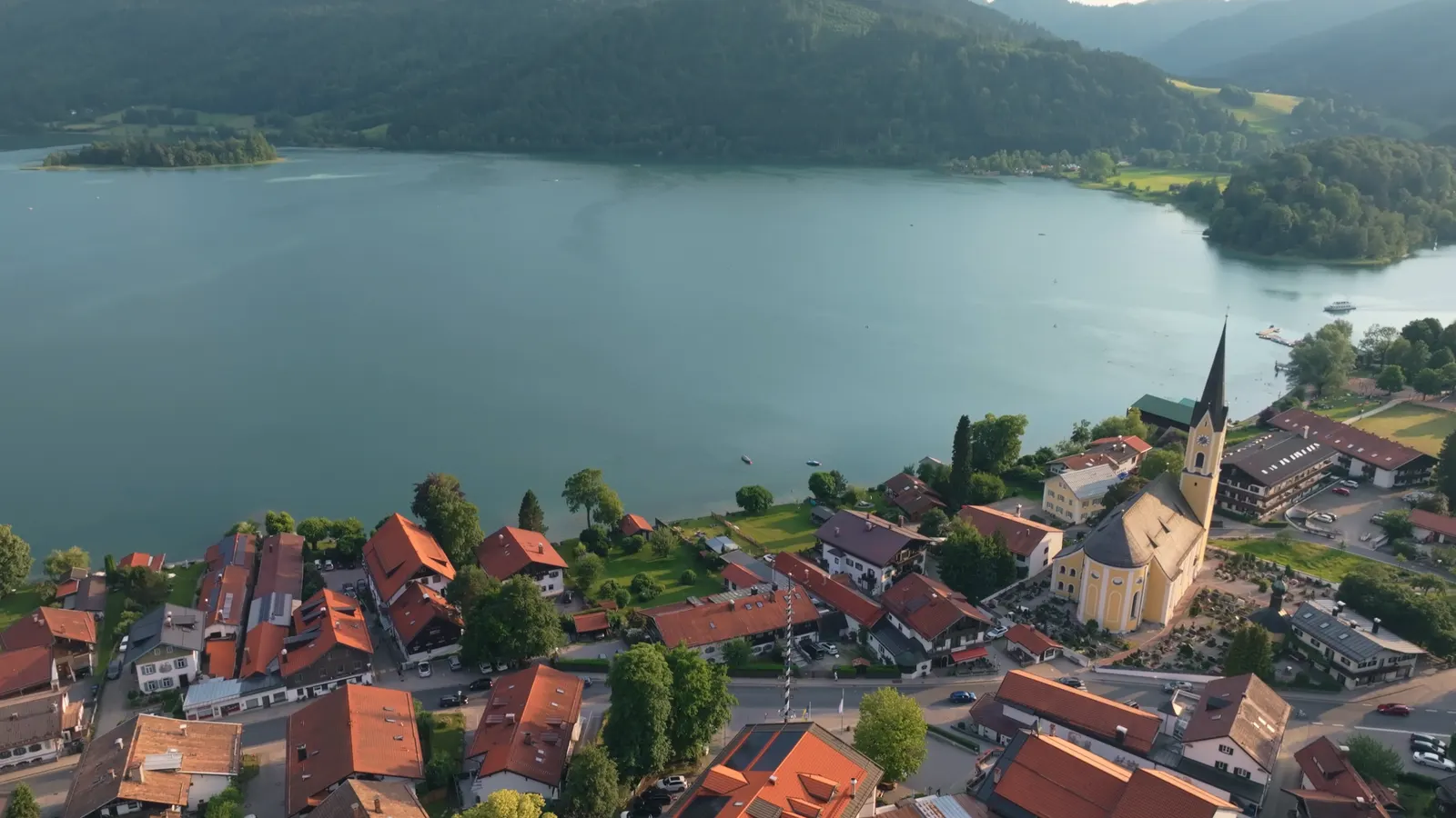
Most of what is on offer is in the village itself. Around the Xaver-Terofal-Platz, the village square, there are inns, bakeries and shops, and it is four minutes’ walk from the square to the water. Start and finish the walk here and both ends are taken care of.
On the island of Wörth in the middle of the lake there is an inn. You cannot walk there: at its nearest point the island is just under two hundred metres off the west shore. You can get there by boat.
We are on the square ourselves, with the restaurant, the bar and the beer garden under the chestnut tree in front of the house. If you walk round the lake and do not feel like cooking afterwards, you pass our door anyway.
We deliberately do not list other businesses’ opening times and prices here. They change, and nothing is more annoying than a page that promises you an open door that turns out to be shut. The addresses below take you straight to the operators.
At a glance
- Length
- 7.4 km (4.6 miles)
- Climbing
- practically none
- Surface
- firm, partly compacted gravel
- Pushchairs
- possible all the way
- Halfway
- Fischhausen, about 2.5 km from the village
- Shortcut
- the boat, May to September
- From our door
- 4 minutes’ walk to the water
A lake you can get to know completely in one morning. The big ones cannot do that.
Addresses and sources
Every link goes to the operators themselves. Times and prices change, so please check them there.
Schliersee Schifffahrt
Round trips on the Schliersee III, plus the boat hire and the kiosk on the shore. Current timetable here.
Schliersee tourist office
The municipality’s official site, with events, the guest card and current notices.
Schliersee Magazin (German)
The local magazine, the place to check what is actually on this week.
Schliersbergalm
The mountain above the village, with a cable car, a summer toboggan run and a view over the lake.
Bayerische Regiobahn (BRB)
Timetables and tickets for the direct line from München Hauptbahnhof to Schliersee.
Deutscher Wetterdienst
Mountain weather and warnings for the Miesbach district.
Common questions.
How long is the walk around the Schliersee?
7.4 km (4.6 miles). The path is practically flat and stays by the water almost all the way. At a brisk pace it takes a little over an hour and a half; with breaks and a meal, half a day.
Can you walk around the Schliersee with a pushchair?
Yes, all the way round. The path is firm throughout, with a few stretches of compacted gravel instead of tarmac. If you want to cut it short, take the boat back between May and September.
Which direction should you walk around the Schliersee?
Both work. In the morning clockwise is nicer, south along the east shore first, so the mountains are in the light on your way back along the west shore. In the afternoon, go the other way.
Can you shorten the walk around the lake?
Yes. From May to September the Schliersee Schifffahrt runs daily; the round trip takes forty-five minutes with departures between 11 am and 5 pm. If you have had enough halfway, ride back instead of walking.
Where is the halfway point?
In Fischhausen on the south shore, about two and a half kilometres from the village centre. Trains and buses stop there too, if you want to split the walk.
Can you walk to the island in the Schliersee?
No. At its nearest point the island of Wörth is just under two hundred metres off the west shore and can only be reached by boat or rowing boat. There is an inn on the island.
Read on
- Boat trips on the Schliersee
A 45-minute round trip from May to September, and rowing, pedal and electric boats for hire.
- Walking around the Spitzingsee
The smaller, higher lake fifteen minutes away by bus: 3 to 3.5 km, cleared in winter.
- Hiking from Schliersee
Our hosts’ own hikes from the front door, with honest times and climbs.
Start from here
Our house stands in the middle of the village, seven minutes on foot from the station and four from the water. Reception is happy to help with questions about the region, daily from 7:30 am to 8 pm on +49 8026 92921-0.